Severe Weather Alerts Across Malaysia: What KL, Families, Commuters, and SMEs Should Do Today
Thunderstorms and heavy rain alerts are affecting Kuala Lumpur, Putrajaya, and multiple states. Here is a practical, no-hype guide on what is happening now, who should act, and how households and SMEs can prepare today.
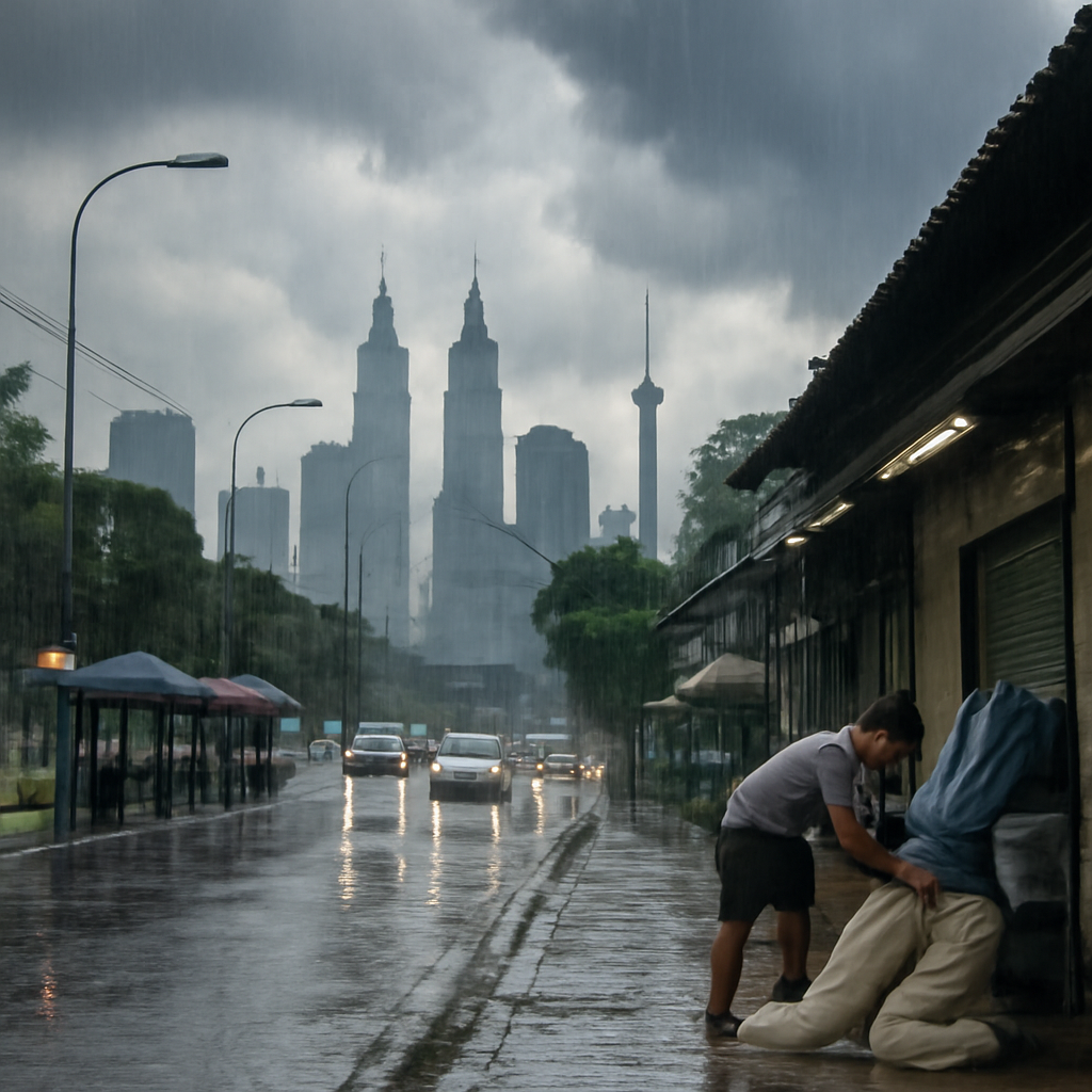
Malaysia is under a fresh round of severe weather alerts, with thunderstorms and heavy rain expected in Kuala Lumpur, Putrajaya, and several states through key daytime and evening windows. For most people, this is less about panic and more about practical timing: journeys may take longer, outdoor plans may fail, and small business operations can be interrupted by sudden downpours or localized flooding.
If you are commuting, managing school runs, or running a customer-facing SME, the best move today is to treat weather alerts as an operations signal. Build a backup plan, reduce avoidable travel during high-risk hours, and monitor official channels closely.
What’s happening now
Current reporting and alert summaries point to unstable weather conditions across multiple regions, including the Klang Valley. Thunderstorms and heavy rain are expected to develop in waves rather than as one continuous event. In practical terms, this means conditions can change quickly from light rain to intense rainfall over short periods.
For Kuala Lumpur and Putrajaya, forecast windows highlighted in local reporting include risk periods extending into late afternoon (including alerts up to around 5pm in some bulletins). Similar alert patterns also cover multiple states across Peninsular Malaysia and parts of East Malaysia, depending on local cloud buildup and storm movement.
Even when your exact district is not under heavy rain at this moment, nearby storms can still affect road flow, logistics timing, and public transport reliability. Short, intense cells can trigger water pooling on major routes, reduce visibility, and increase minor incident risk.
Affected areas and likely disruption windows
Based on current public reports, impacted zones include Kuala Lumpur, Putrajaya, and a wider set of states under thunderstorm/heavy rain advisories. Exact district-level coverage may update throughout the day.
Typical disruption windows to watch:
- Late morning to late afternoon: Fast-developing thunderstorms, especially around urban heat zones.
- School dismissal and peak commute periods: Higher traffic volume combined with rainfall intensity can significantly extend travel times.
- Early evening spillover: Some areas may continue seeing rain bands after daytime alert windows.
This does not guarantee severe impact in every location. But if you manage people, deliveries, or fixed appointment slots, treat these windows as high-probability disruption periods and schedule accordingly.
Who should act first today
1) Commuters
If your route includes flood-prone roads, underpasses, or highways with known bottlenecks, leave earlier or shift travel time when possible. Keep fuel or battery levels healthy and avoid waiting until critical low levels during bad weather windows.
Public transport users should expect occasional delays and slower transfers. If your connection timing is tight, build a larger buffer than usual.
2) Parents and caregivers
School pickup timing is often where weather stress peaks. Confirm pickup arrangements early, and share a backup plan with all relevant adults. If children travel by bus/van, check for service updates before dismissal time.
Keep a simple “wet weather kit” ready: dry clothes, small towel, water bottle, and backup contact details in case phone batteries run low.
3) SME operators
SMEs in retail, F&B, logistics, and field services are especially exposed to weather-driven delays. Today’s priority is continuity, not perfection.
- Review delivery windows and proactively message customers where delays are likely.
- Protect storefront entry points, low shelves, and outdoor stock from rain splash or runoff.
- Stagger staff movement to reduce everyone commuting at the same peak-risk hour.
- Save key contacts offline: suppliers, riders, building management, utility support.
Practical preparedness checklist (households + SMEs)
Use this as a same-day checklist. It is intentionally simple and fast.
Before peak rain hours
- Check official weather warnings and district-level updates.
- Charge phones, power banks, and essential devices.
- Move important items off the floor (documents, stock, electronics, extension plugs).
- Clear drains/gutters where possible around shopfronts or home entrances.
- Reconfirm travel, pickup, and delivery schedules.
During heavy rain or thunderstorm periods
- Delay non-essential trips, especially through known waterlogging areas.
- Slow down driving and increase following distance; visibility changes quickly.
- Keep customer/staff updates short and regular (“delay estimate + next update time”).
- For premises: monitor entry points, switch off non-essential electrical loads if needed, and keep walkways dry to reduce slips.
After the main weather window
- Check for secondary disruptions: traffic backlog, route closures, late deliveries.
- Inspect premises for minor water ingress and document issues early.
- Reset stocks and next-day schedules before closing.
Trusted channels to monitor
When weather headlines spread quickly, focus on sources that are updated and attributable. Use social chatter for awareness, but make operational decisions using official and established news channels.
- MetMalaysia (official weather authority): Warnings, radar, and state/district updates.
- Public agency channels: Transport, flood, and emergency advisories where relevant.
- Established local newsrooms: Useful for quick summaries and context.
- Trend trackers and social feeds: Helpful for spotting emerging disruptions, but verify before acting.
A simple rule for teams and families: one person tracks updates, one person coordinates actions. This avoids confusion and duplicate messages when conditions shift fast.
How to make better same-day decisions
If alerts are active across multiple states, avoid “all or nothing” thinking. You do not need to shut everything down to be prepared. Instead, use a tiered response:
- Tier 1 (normal with caution): Continue plans, add time buffers, monitor alerts hourly.
- Tier 2 (active disruption): Delay non-critical movement, switch to remote coordination where possible.
- Tier 3 (localized high impact): Pause affected operations, prioritize safety of people and essential assets, resume when conditions improve.
This approach is practical for SMEs that cannot afford full-day shutdowns but still need responsible risk control.
Bottom line
Severe weather alerts across KL and multiple Malaysian states should be treated as a planning signal, not a panic trigger. The highest-value actions today are straightforward: track verified updates, reduce exposure during peak rain windows, communicate early, and protect critical people/assets first.
For households, that means smoother school and commute decisions. For SMEs, it means fewer avoidable delays, clearer customer communication, and lower operational stress when storms move in.
Conditions can change within hours, so keep plans flexible and check updates regularly through the day.
Sources
- https://trends.google.com/trending/rss?geo=MY
- https://www.bernama.com/en/general/news.php?id=2527272
- https://www.malaymail.com/news/malaysia/2026/02/25/brace-for-wet-weather-thunderstorms-heavy-rain-forecast-for-kl-putrajaya-and-nine-states-until-5pm/210399
- https://www.malaysiakini.com/news/768783
- https://www.reddit.com/r/malaysia/hot/.rss
- https://getdaytrends.com/malaysia/